What is the Musical Routes project?
The first map for the Musical Routes project was launched at Hall Green Station in November 2021 by UB40. It is planned for other music maps of Birmingham to go up around various other railway stations in the region. Musical Routes is the brainchild of the Birmingham Music Archive, founded by Jez Collins.
Acocks Green Station
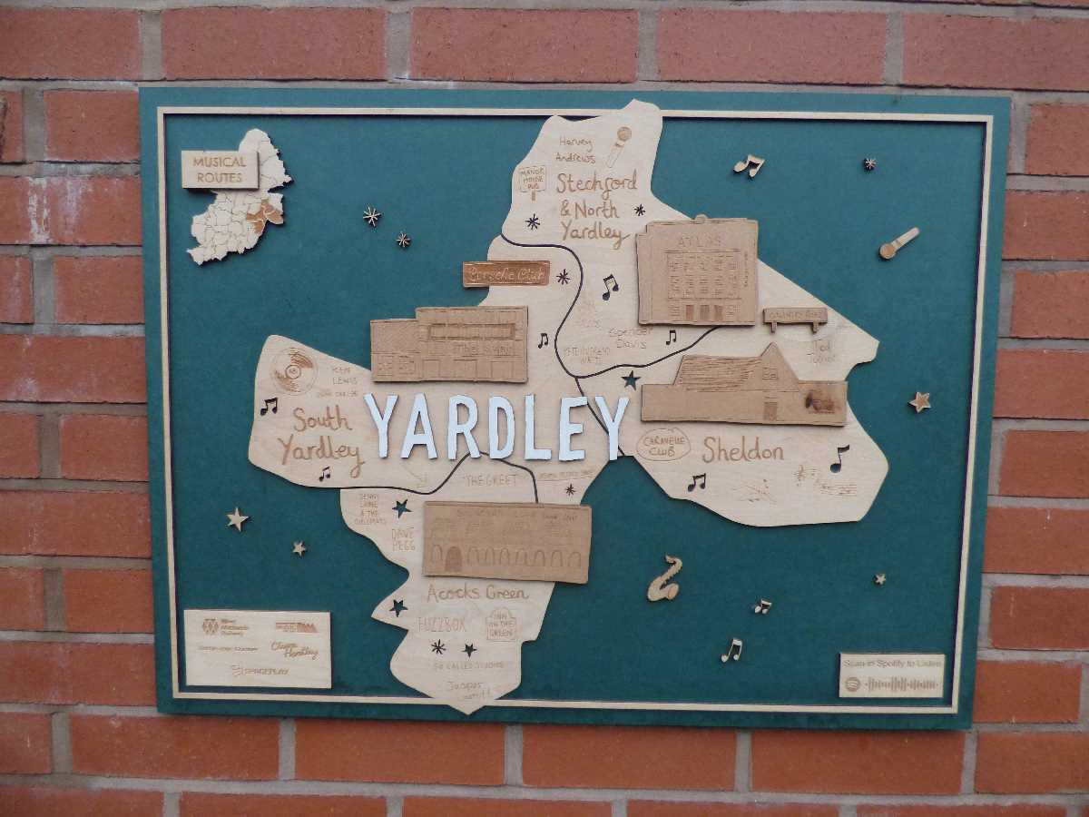
The Musical Routes sign for Yardley can be found at Acocks Green Station, at the back of the lift shaft between platform 1 and 2, you will see it coming down the steps.
 Yardley Musical Routes at Acocks Green Station (February 2022). Photography by Elliott Brown
Bournville Station
The Musical Routes sign for Selly Oak can be found at the bottom of the ramp near Platform 2 at Bournville Station. The ramp leads to Mary Vale Road in Bournville and the Worcester & Birmingham Canal. You can walk down Mary Vale Road to Stirchley and the Pershore Road.
.jpg) Selly Oak Musical Routes at Bournville Station (January 2022). Photography by Elliott Brown
Selly Oak Musical Routes at Bournville Station (January 2022). Photography by Elliott Brown
Erdington Station
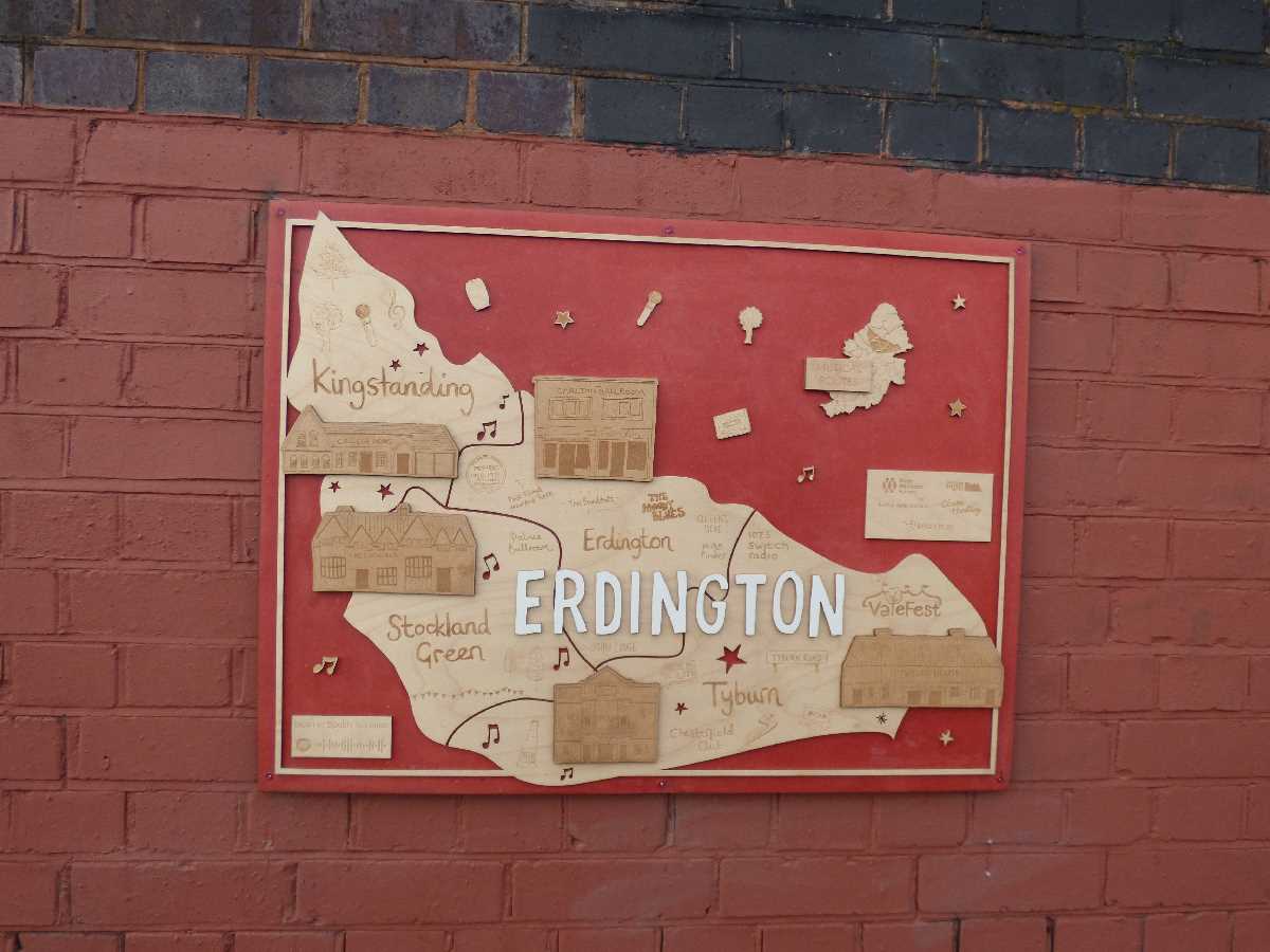
The Musical Routes sign for Erdington can be found from the ramp up to Platform 2 (from Station Road) at Erdington Station.
 Erdington Musical Routes at Erdington Station (January 2022). Photography by Elliott Brown
Five Ways Station
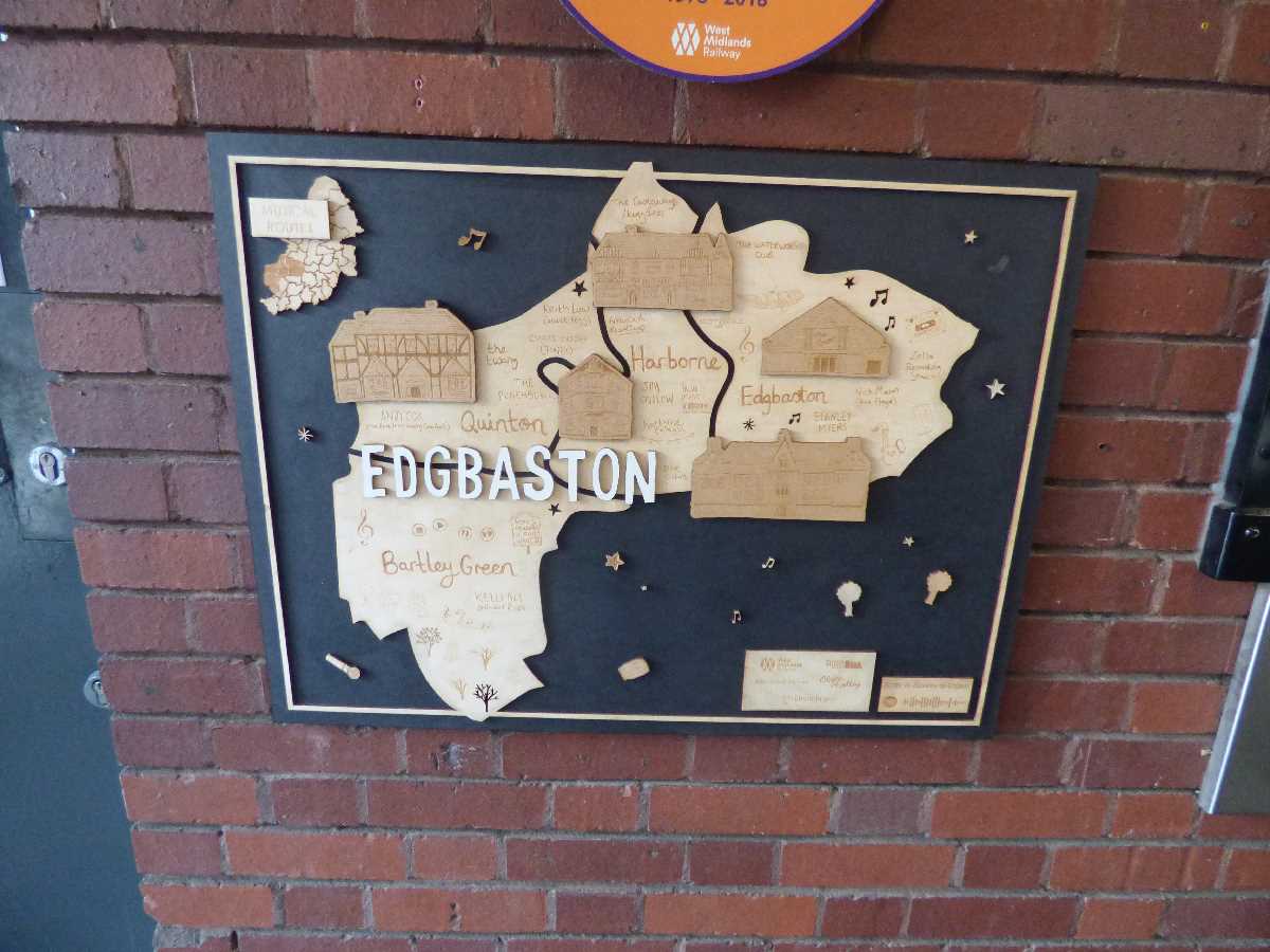
The Musical Routes sign for Edgbaston is located inside the station building at Five Ways Station. Just head through the entrance from Islington Row Middleway.
 Musical Routes: Edgbaston at Five Ways Station (February 2022). Photography by Elliott Brown
Hall Green Station
The maps were launched at Hall Green Station by legendary reggae band UB40 and Adam Regan from the music venue the Hare & Hounds in Kings Heath.
 (3).JPG) Musical Routes Hall Green Station (November 2021). Photography by Elliott Brown
Musical Routes Hall Green Station (November 2021). Photography by Elliott Brown
Longbridge Station
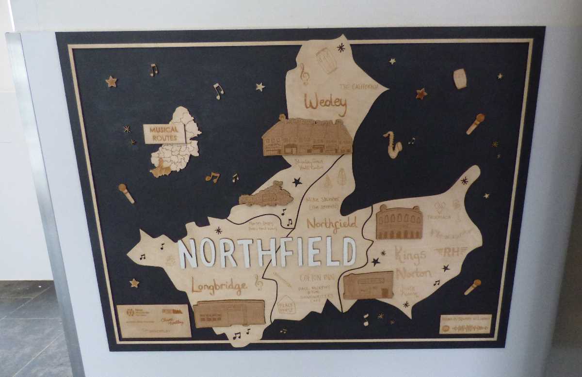
The Musical Routes sign for Northfield can be found inside of the Longbridge Station entrance building from Longbridge Lane in Longbridge.
 Northfield Musical Routes at Longbridge Station (January 2022). Photography by Elliott Brown
Sutton Coldfield Station
The Musical Routes sign for Sutton Coldfield can be found inside of the Sutton Coldfield Station building, near Railway Road in Sutton Coldfield. It is also at Chester Road Station.
.JPG) Sutton Coldfield Musical Routes at Sutton Coldfield Station (April 2022). Photography by Elliott Brown
Sutton Coldfield Musical Routes at Sutton Coldfield Station (April 2022). Photography by Elliott Brown
Ladywood on billboards in Digbeth
Build Hollywood have placed various Ladywood billboards of Musical Routes around Birmingham City Centre, including in Digbeth and Southside. These were removed after about a month.
One Ladywood billboard was on High Street Deritend next to The Old Crown pub and the Eastside Metro extension roadworks.
.jpg)
There was also a Ladywood Musical Routes billboard at Barford Street, close to Bradford Street in Digbeth (opposite the demolished Birmingham Wholesale Markets land, now the Smithfield redevelopment site).
.jpg) Ladywood Musical Routes billboards around Digbeth (January 2022). Photography by Elliott Brown
Ladywood Musical Routes billboards around Digbeth (January 2022). Photography by Elliott Brown
Other stations and future maps
Other stations will include: Sutton Coldfield, Four Oaks, Wylde Green, Chester Road, Erdington, Gravelly Hill, Perry Barr, Hamstead, Jewellery Quarter, Duddeston, Aston, Witton, Bordesley, Small Heath, Adderley Park, Lea Hall, Five Ways; Spring Road; Yardley Wood; Acocks Green; Stechford; Tyseley; Selly Oak; Bournville; Kings Norton; Northfield and Longbridge. University station will get two maps. University and Perry Barr stations will get their maps when redevelopment work there is completed next year.
Birmingham We Are will be fascinated to see how this project progresses.